


CPOCehegín
PERMANENT GUIDANCE CIRCUIT "CEHEGÍN URBAN"
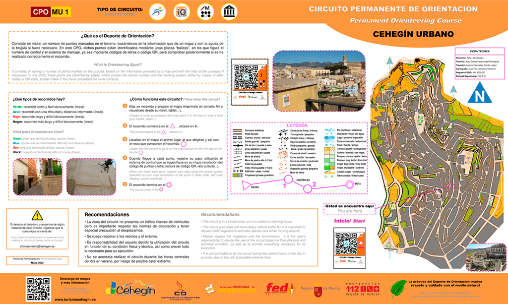
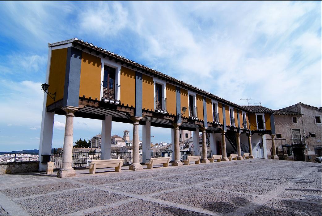
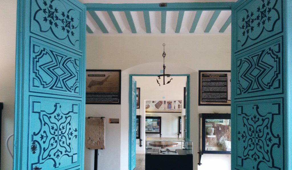
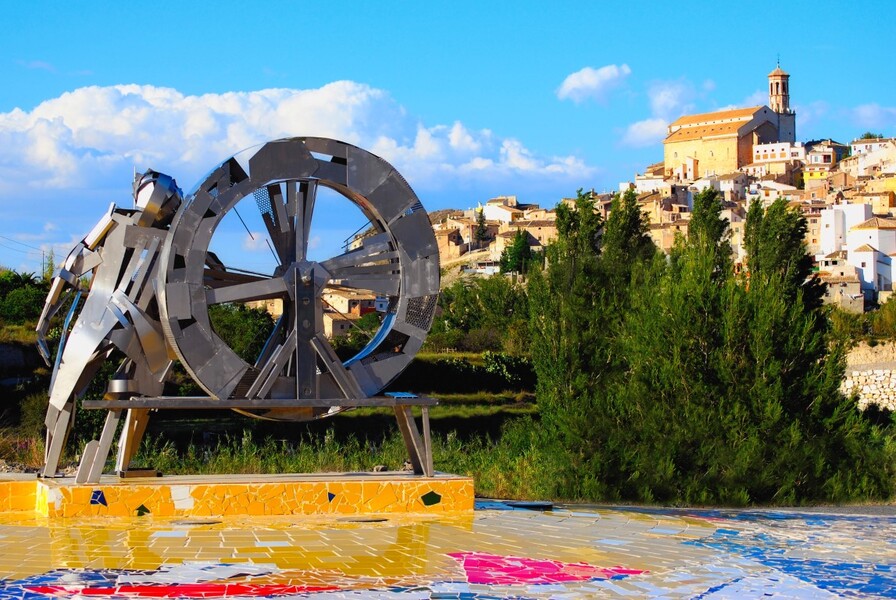
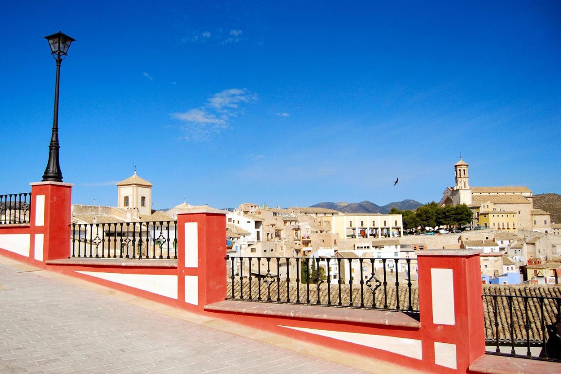
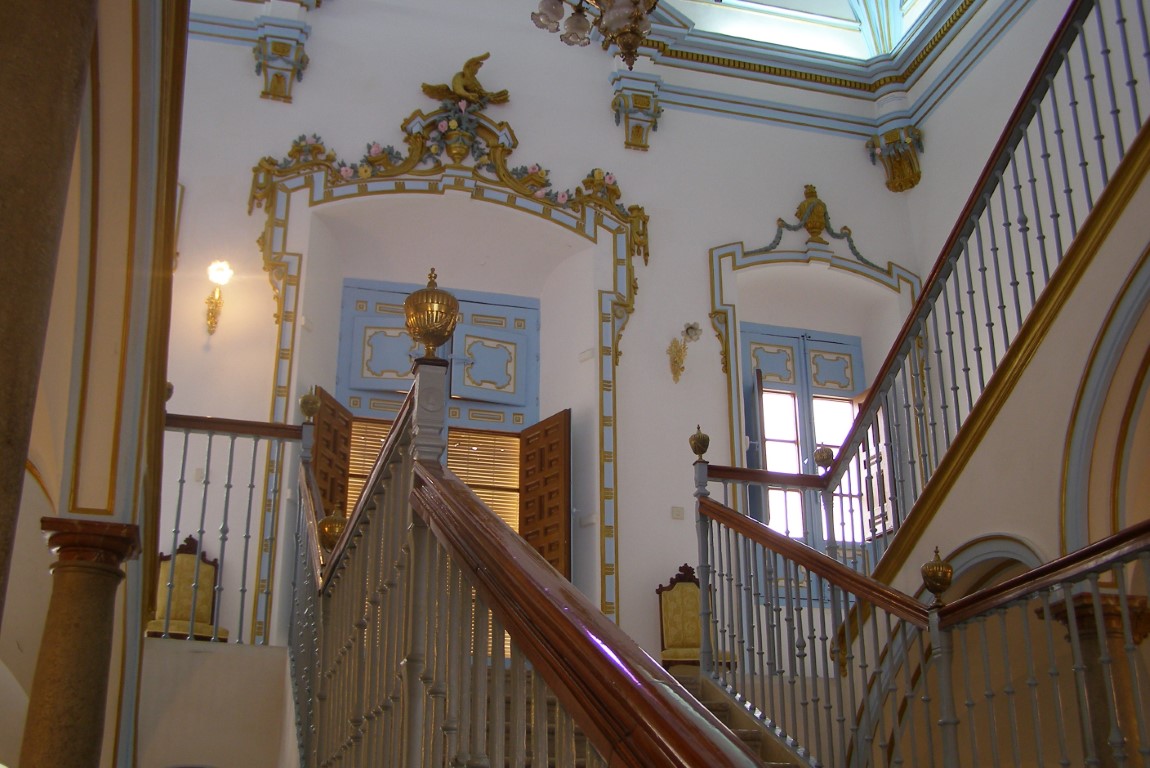
The City Council of Cehegín offers its habitants and visitors the possibility of practicing orienteering at any time of the year through the installation of a permanent circuit, located in the urban area, thus becoming the first municipality in the Region of Murcia to have this type of sports facility. In addition, this type of activity allows the user to discover corners and places of the old town, being a sports, recreational and tourist alternative to bring closer the most cultural and historical part of Cehegín.
What is Orienteering Sport?
It consists of visiting a number of points marked on the ground, based on the information provided by a map and with the help of the compass if necessary. In this CPO, these points are identified by plates, which contain the control number and the marking system, either by means of letter codes or QR code, to later check if You have completed the route correctly.
What types of courses are there?
Short and technically easy course (linear)
Distance: 2 km. Slope: 80 m.
Course with an intermediate difficulty and distance (linear).
Distance: 2 km. Slope: 165 m.
Long and technically difficult course (linear)
Distance: 2,9 km. Slope: 190 m.
Longest and technically difficult course (linear)
Distance: 3,5 km. Slope: 230 m.
CULTURAL course that will allow you to get to know the most emblematic monuments and buildings of Cehegín through a proposal of challenges.
How does this circuit?
Choose a route and prepare the map (print it in A4 size or view it from your mobile, tablet...)
The course begins in the ![]() , stand in it
, stand in it
Locate the first control to go to on the map and so on with the rest of the course ![]()
When you reach each point, register your step using the control system specified on your map (annotation of the point or letter code, QR code reading, culture challenge...).
The course ends in the ![]()
Recommendations
- The circuit is in a closed area, so it is subject to opening hours.
- The circuit area does not have heavy vehicle traffic but it is important to respect traffic regulations and take special care when moving around.
- Please respect the neighbors and the environment. It is the user’s responsibility to decide the use of the circuit based on their physical and technical condition, as well as to provide everything necessary for its execution.
- It is not advisable to do the circuit during the central hours of the day in summer, due to the risk of possible extreme heat.


